There are times when aerial drone surveys and underwater ROV inspection is simply not possible.
For example, city centre street elevation inspection. With a high population zone comes high levels of foot traffic which prevents aerial drone inspections from being conducted. In these situations, Balmore can provide a new option.
Our Ground Based Inspection Photography Services is the perfect compliment to our drone survey and ROV underwater inspection services.
It has moved us into the position of being a leading inspection and survey service covering land, sea & air.
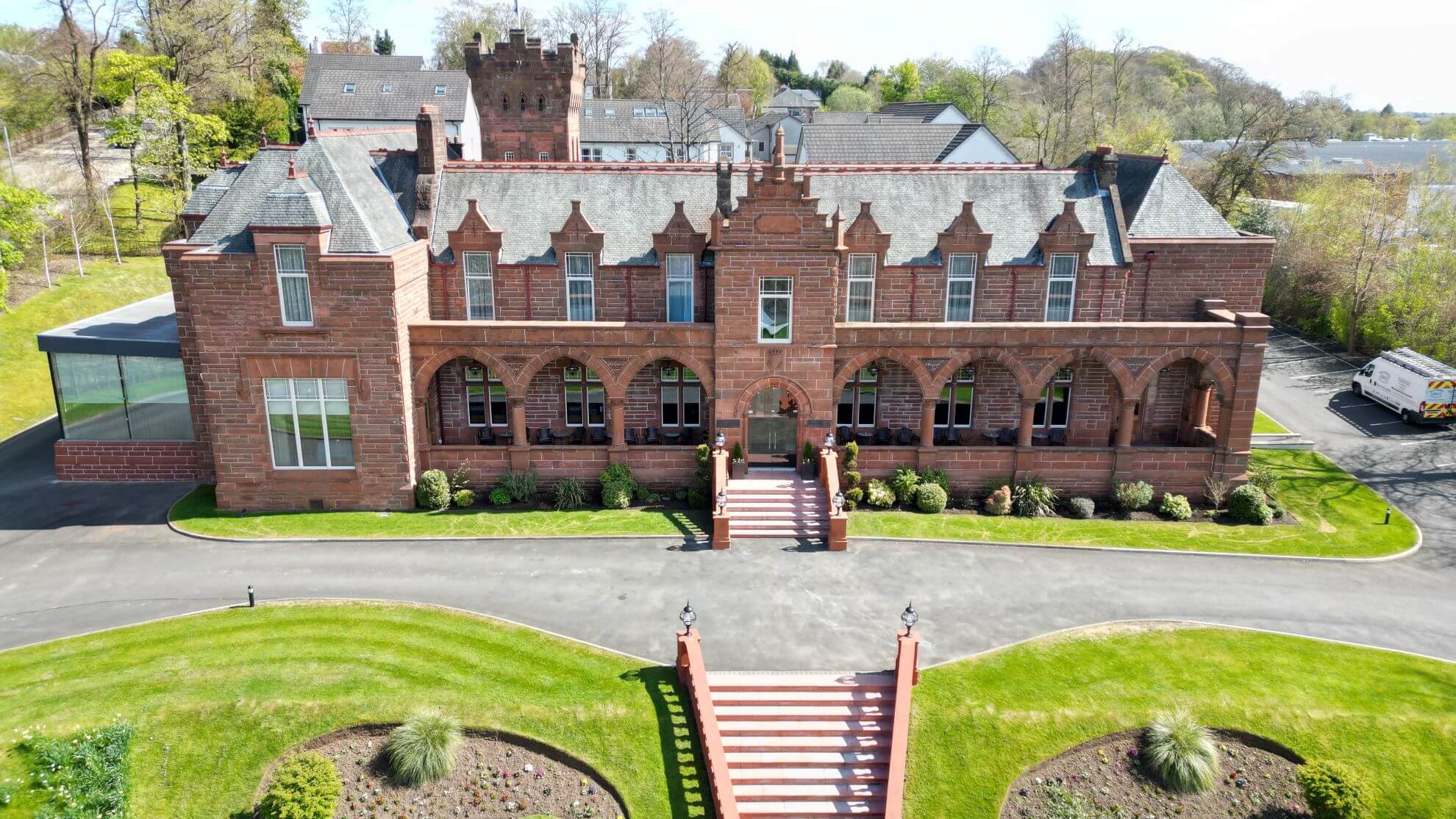
Equipped with our Z7 camera with 70mm – 500mm lens, and using our Aerial Access Platform for variable vantage points, we can capture incredible detail of inspection zones that we simply cannot access with one of our drone surveys. So for the likes of ground level inspections, our detailed lens and 45MP camera sensor generates crystal clear images.
With such a powerful lens, we can focus in on small defects without worrying about pixelation of the image.
And like our aerial drone surveys, each photo is imprinted with GPS coordinates that enables us to add location tracking to our inspections and can be included in our cloud based inspection software.
These kind of details can prove invaluable for comparison and archiving of inspection data and can be used as an added level of inspection to compliment our aerial inspection services.
From our head office in Glasgow, we can provide our Ground Based Inspection Services across Scotland and the North of England.
As an award winning inspection & survey specialist, we have grown to become one of the leaders in our field across Scotland. Our ability to provide inspection services for land, sea & air offers our customers an added benefit that so many of our competitors simply cannot match.
If you would like to know more about our ground based inspection services and how our complete land, sea & aerial survey services can benefit your business, please contact us.