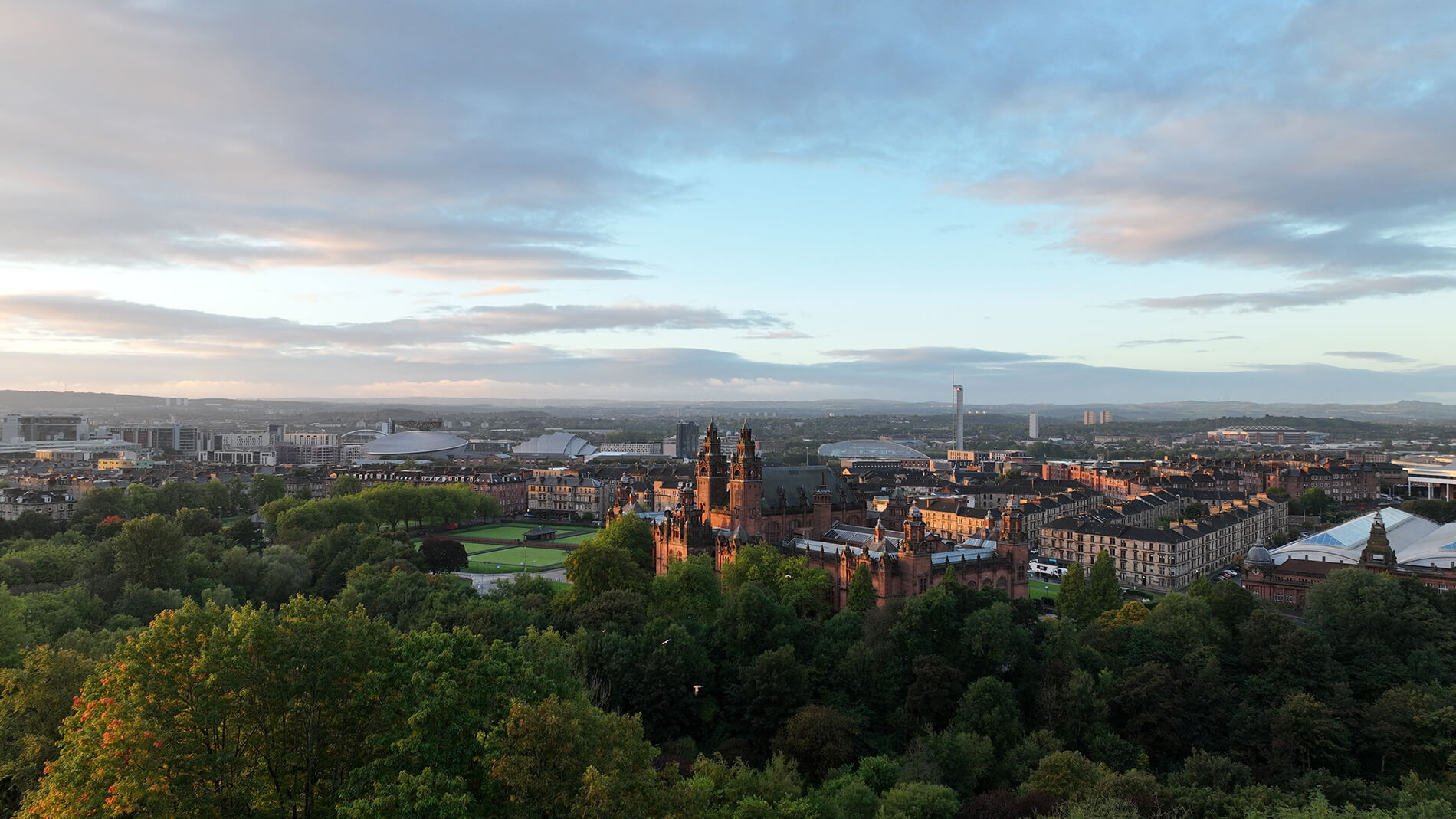
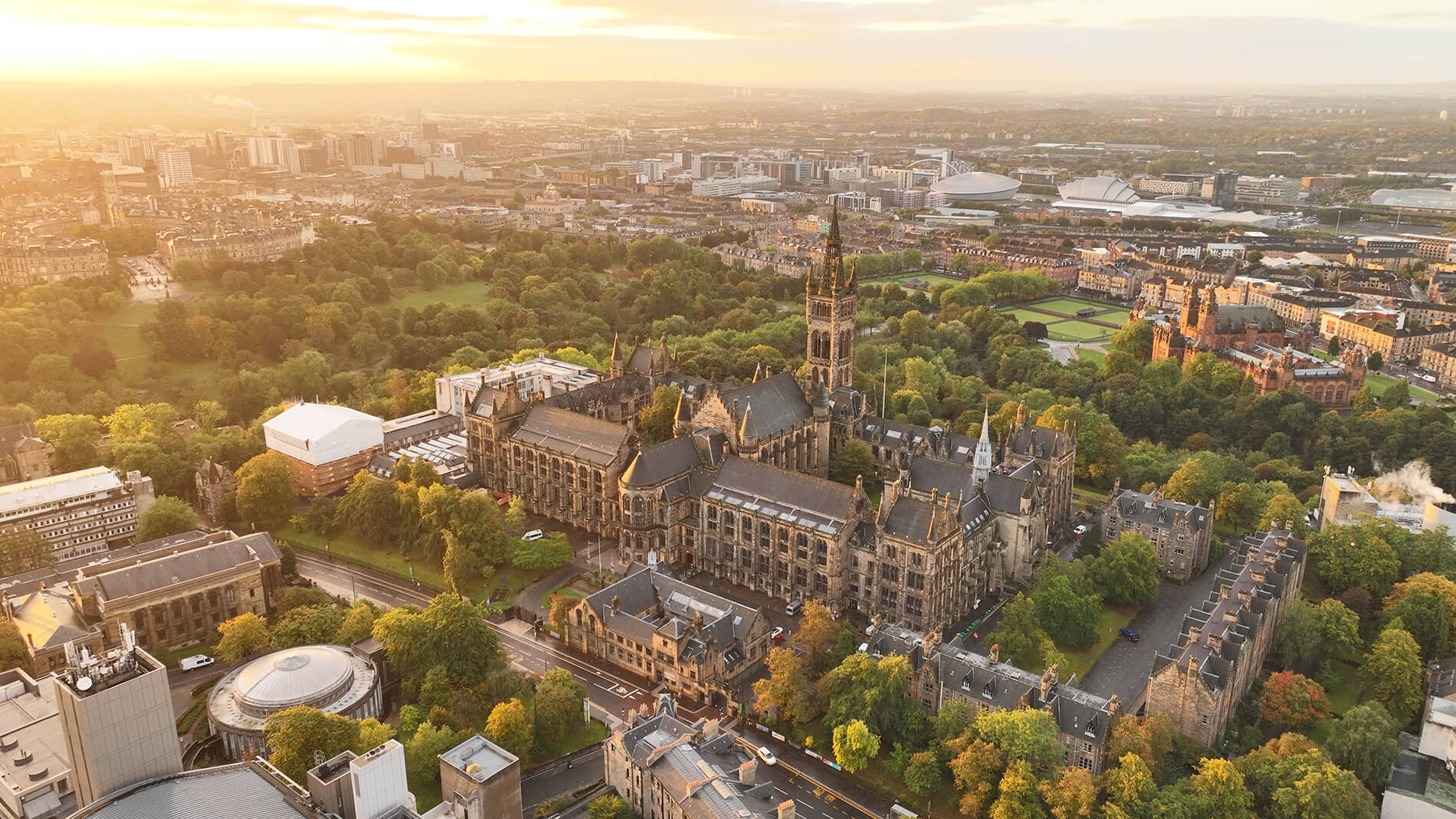
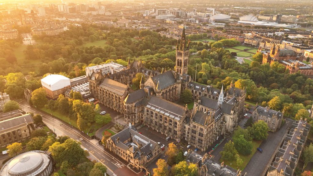
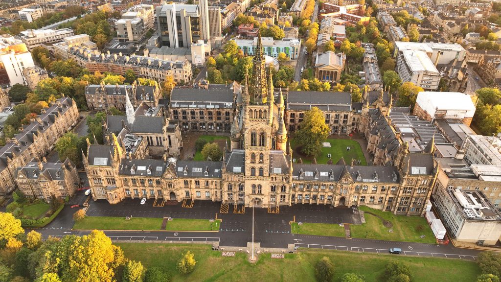
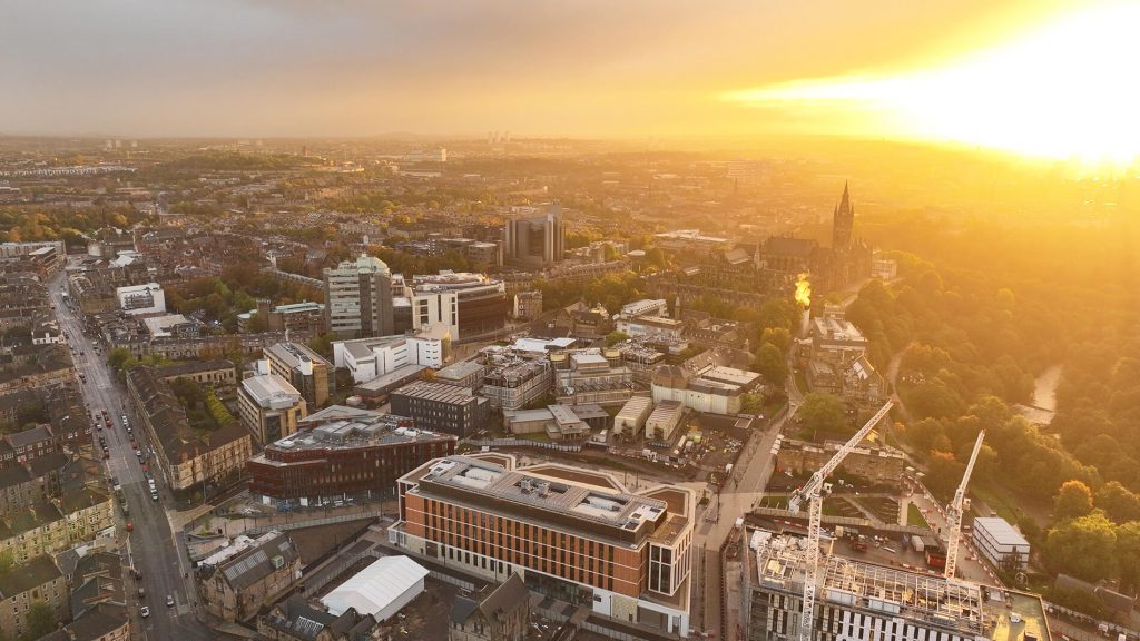
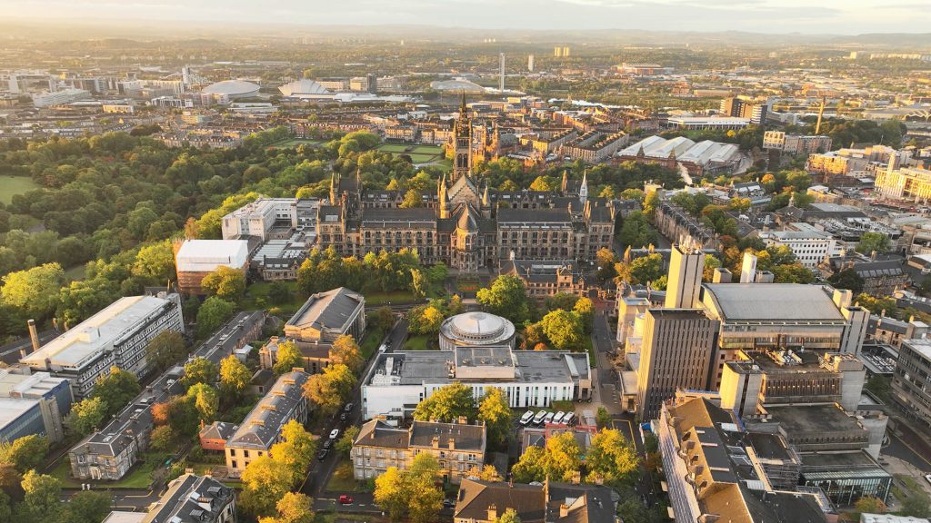
Our drone inspection team recently completed the full drone survey programme for the University of Glasgow’s Gilmorehill Campus.
The Gilmorehill Campus, located in the West End of Glasgow includes a mixture of research, teaching and public spaces with the stunning historic Gilbert Scott building located at its centre. In total, the site consists of over 160 listed and modern building structures, all of which required visual inspections by our drones.
During the drone survey, we capture over 30,000 visual & radiometric thermal photos. These photos are then used as part of roof survey and elevation surveys for the campus.

All of this data was uploaded onto our award winning cloud based survey software that can be accessed by in-house surveyors for analysis.
The end result of this drone survey is that the client can easily access the inspection data, filter through detected defects by location, the type of defect and the severity level of the defect. The filtering is so comprehensive that they can even filter through building name, the elevation, floor level and roof.
Thermal Imaging
Thermal imaging cameras equipped to our aerial and underwater drones can be used to identify:
Thermal bridging, Heat loss, Water ingress, Roof leaks, Missing insulation, Damp, Leaking pipes, Cracks & Structural Weak Points and much more. The use of thermal imaging has been changing the landscape of survey and inspection services across the UK for many years and together with the modern capabilities of commercial UAV services, they form a powerful combination.
Roof Surveys
A drone survey of a buildings roof structure is exactly as it sounds. We use advanced commercial grade aerial drones equipped with the latest in photographic, video and thermal imaging camera technology to survey and inspect residential and commercial properties roofing in incredible detail. This allows us to spot vulnerabilities and points of interest in great detail that is simply impossible with the human eye.
A standard drone survey roof inspection can be carried out in a fraction of the time compared to conventional inspection methods that would involve a roofing team to access and then inspect the roof step by step. A simple fly over with one of our drones can result in hundreds of photos and scans of a properties roofing. This allows us to analyse a roof structure from multiple angles, distances and vantage points for incredible detail and accuracy.
Drone Mapping
Drone mapping has significant benefits in industries ranging from construction to agriculture, mining to infrastructure and real estate.
It is the process of using aerial drones to conduct photography in a style known as photogrammetry. Photogrammetry is the science of taking measurements from photographic evidence. This can be processed as a map, measurement or virtual model of a real world location or object. As an example, the vast majority of modern day mapping that we use in a day to day environment has been generated through aerial photogrammetry using aeroplanes.
Using commercial grade UAV drones to conduct photogrammetry is conducted in the exact same way.
Find out more
We are Balmore, an award winning drone survey company providing drone inspection services across a large number of business sectors on both land and sea. We provide a comprehensive visual inspection service that is safer, quicker, more detailed and accurate than traditional methods. And all while being significantly cheaper than other methods with REAL cost savings.
From aerial drone surveys to ROV underwater inspection conducted in fresh water and salt water environments. Our fleet of aerial drones can provide outdoor external inspection as well as confined spaces inspection conducted in the darkest and most difficult to access confined spaces that are too dangerous for a conventional inspection team to enter.
To find out more about the inspection work that we can provide using drone surveys, please contact us today.